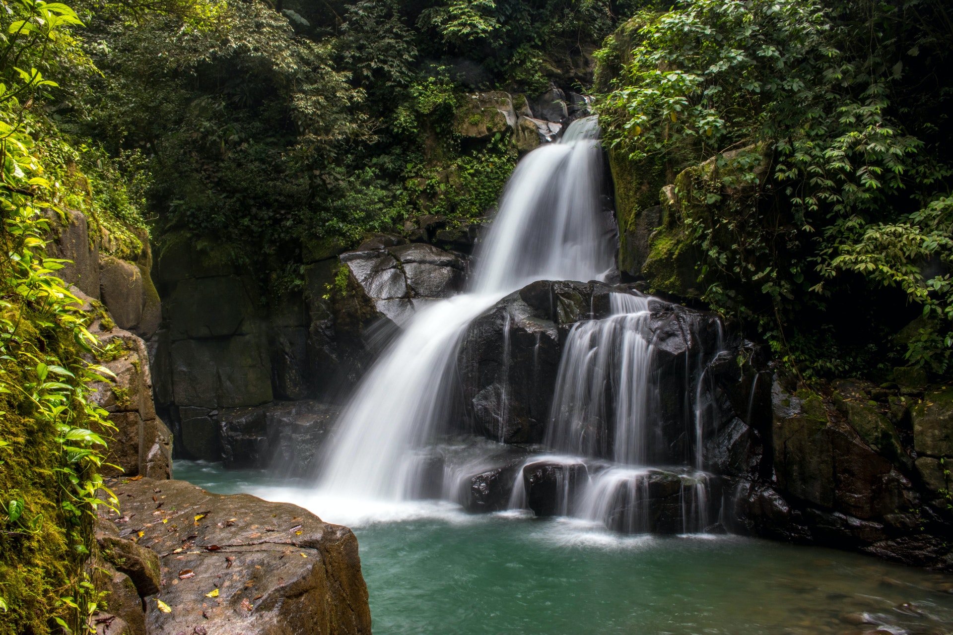
Hiking Western NC: Graveyard Fields Loop Trail #358
3.2 mi - Easy - This is a popular family hike because of its beauty, general ease, and access to two waterfalls. The area trail
system starts at steps at the near (right) end of the parking lot sidewalk; a wooden sign depicts trail and waterfall locations, but because of intersecting and/or unmarked trails in the area, a trail map is generally helpful--though not for precise details: Trail reconstruction/relocation occasioned by tropical storm damage has displaced some of the trails and/or intersections from the locations shown on the current map; the entire area is being remapped.The trail, initially paved, leads to a bridge over Yellowstone Prong, the stream feeding both waterfalls. If going to Second/Lower Falls (downstream of the bridge, and 0.3 miles from trailhead), cross the bridge, pass a small “off ramp” which the main trail takes to the left, cross the boardwalks, and follow signpost(s). This spur trail includes a 60-step wooden stairway to the base of the falls. Rocks around waterfalls are very slippery; NEVER go to the top of any waterfall. To stay on main trail: After crossing bridge, trail turns left, passes through small forested area, then open grassy areas as it meanders back toward Prong—and can be muddy in places, despite some boardwalks. Blueberries are abundant in the fall. After about a mile, main trail turns left to cross Prong and return, in about a mile, to parking; if going to Upper Falls (1.6 miles from the trailhead), continue straight ahead on spur trail, which crosses a small stream and climbs to the falls. (Although Graveyard Fields Trail is rated ``easy' overall, the majority (approximately ½ mile) of this spur trail has a rougher surface and steeper grade than the majority of the trail.) **Length of 3.2 miles assumes proceeding directly to Upper Falls as described and retracing one’s steps to parking. Upon returning to main trail from Upper Falls, one may turn right, cross Prong, and use southern portion of main loop to return to parking area; total mileage is somewhat less than 3.2 miles using this route.
Approximate Elevation Change: 400 feet
Blaze: Blue
At a Glance
Open Season:
Year-round
Usage:
Heavy
Restrictions:
Hiking Trail: foot traffic only.
Water:
yes
Restroom:
none
Operated By:
US Forest Service
General Information
Directions: From the Pisgah District Ranger Station/Visitor Center parking lot, turn right (north) on US 276. Proceed 14 miles north; turn right onto access ramp for the Blue Ridge Parkway, then left (south) on Parkway. Proceed south to Graveyard Fields Overlook, on the right, just before Milepost 419.
https://www.fs.usda.gov/


 How to resolve AdBlock issue?