
 How to resolve AdBlock issue?
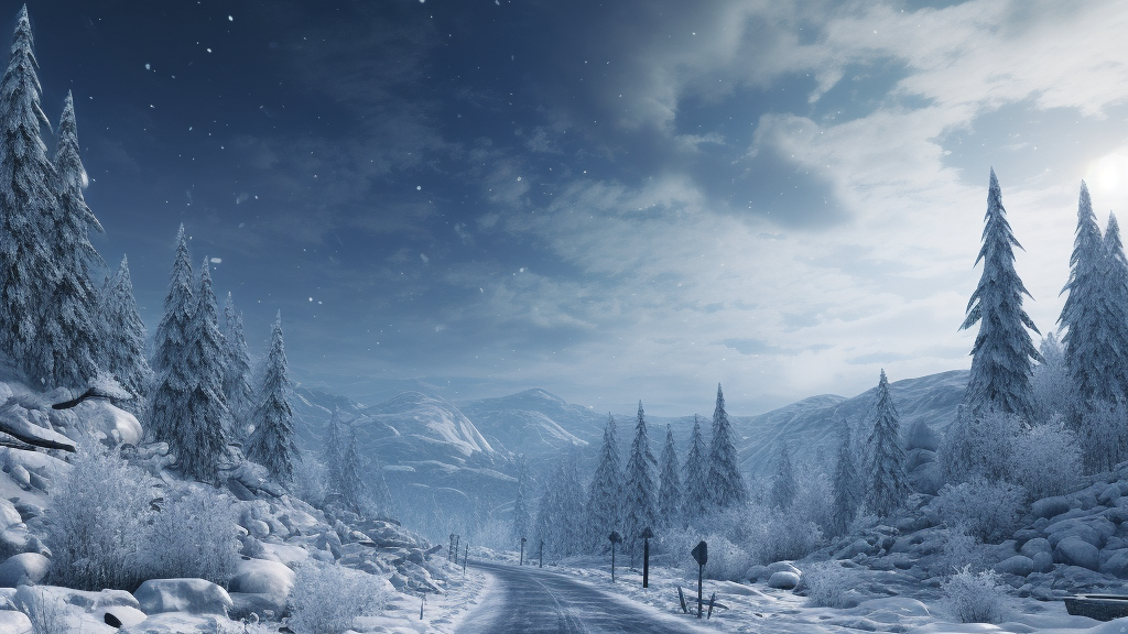
Winter Storm Warning for Most of WNC
WNC Area -- January 5, 2024: The National Weather Service Announced a Winter Storm Warning Advisory late this afternoon.
Transylvania-Henderson-Rutherford Mountains-Polk Mountains-
Including the cities of Brevard, Cedar Mountain, Little River,
Hendersonville, Fletcher, Dana, East Flat Rock, Tuxedo, Etowah,
Chimney Rock State Park, and Saluda
410 PM EST Fri Jan 5 2024
...WINTER STORM WARNING REMAINS IN EFFECT FROM 1 AM TO 1 PM EST
SATURDAY...
* WHAT...Significant icing expected. Total ice accumulations of
up to three tenths of an inch.
* WHERE...Transylvania, Henderson, Rutherford Mountains and Polk
Mountains Counties.
* WHEN...From 1 AM to 1 PM EST Saturday.
* IMPACTS...Power outages and tree damage are likely due to the
ice. Travel could be nearly impossible.
* ADDITIONAL DETAILS...Precipitation should begin late this
evening as a period of sleet, possibly mixed with snow, before
changing to freezing rain in the early morning hours Saturday.
The best potential for significant ice accumulation will be
generally south of US Highway 64 to the Blue Ridge Escarpment.
PRECAUTIONARY/PREPAREDNESS ACTIONS...
A Winter Storm Warning means severe winter weather conditions are
expected or occurring. Significant amounts of ice accumulations
will make travel dangerous or impossible. Travel is strongly
discouraged. Commerce will likely be severely impacted. If you
must travel, keep a flashlight, food, and water in your vehicle
in case of an emergency. Ice accumulations and winds will likely
lead to snapped power lines and falling tree branches that add to
the danger. Prepare for possible power outages.
Stay tuned to NOAA Weather Radio or your favorite source of
weather information for the latest updates. Additional details
can be found at www.weather.gov/gsp. The latest state road
conditions can be obtained by calling 5 1 1.
Avery-Alexander-Iredell-Davie-Yancey-Mitchell-Buncombe-Catawba-
Rowan-Southern Jackson-Cleveland-Lincoln-Caldwell Mountains-
Greater Caldwell-Burke Mountains-Greater Burke-McDowell Mountains-
Eastern McDowell-Greater Rutherford-Eastern Polk-
Pickens Mountains-Greenville Mountains-
Including the cities of Ingalls, Banner Elk, Newland, Bethlehem,
Ellendale, Millersville, Taylorsville, Hiddenite, Stony Point,
Statesville, Mooresville, Farmington, Fork Church, Mocksville,
Advance, Swiss, Burnsville, Celo, Micaville, Ramseytown, Busick,
Spruce Pine, Poplar, Asheville, Black Mountain, Candler, Hickory,
Newton, St. Stephens, Salisbury, Wolf Mountain, Cashiers, Shelby,
Kings Mountain, Lincolnton, Crouse, Patterson, Kings Creek,
Lenoir, Sawmills, Granite Falls, Jonas Ridge, Morganton,
Pleasant Grove, Valdese, Ashford, Sugar Hill, Woodlawn, Old Fort,
Marion, Nebo, Dysartsville, Fero, Glenwood, Forest City,
Rutherfordton, Spindale, Tryon, Columbus, Mill Spring,
Rocky Bottom, and Glassy Mountain
410 PM EST Fri Jan 5, 2024
...WINTER WEATHER ADVISORY REMAINS IN EFFECT FROM 1 AM TO 1 PM
EST SATURDAY...
* WHAT...Mixed precipitation is expected. Total snow accumulations up
to an inch, mainly over the mountains, and ice accumulations of
up to two-tenths of an inch.
* WHERE...Portions of the northwest Piedmont, the mountains of
North Carolina, and the South Carolina mountains.
* WHEN...From 1 AM to 1 PM EST Saturday.
* IMPACTS...Plan on slippery road conditions.
* ADDITIONAL DETAILS...Precipitation will spread northeast
across the region after midnight through the pre-dawn hours.
Across the mountains, it will begin as a period of sleet and
possibly light snow, before changing to freezing rain and
rain. Over the northwest Piedmont, after a brief wintry mix,
rain and freezing rain can be expected. The precipitation
should change to all rain by late morning.
PRECAUTIONARY/PREPAREDNESS ACTIONS...
A Winter Weather Advisory for freezing rain means that periods of
freezing rain or freezing drizzle will cause travel difficulties.
Be prepared for slippery roads. Slow down and use caution while
driving.
Stay tuned to NOAA Weather Radio or your favorite source of
weather information for the latest updates. Additional details
can be found at https://www.weather.gov/. The latest state road
conditions can be obtained by calling 5 1 1.
Image Credit: WNCTimes