

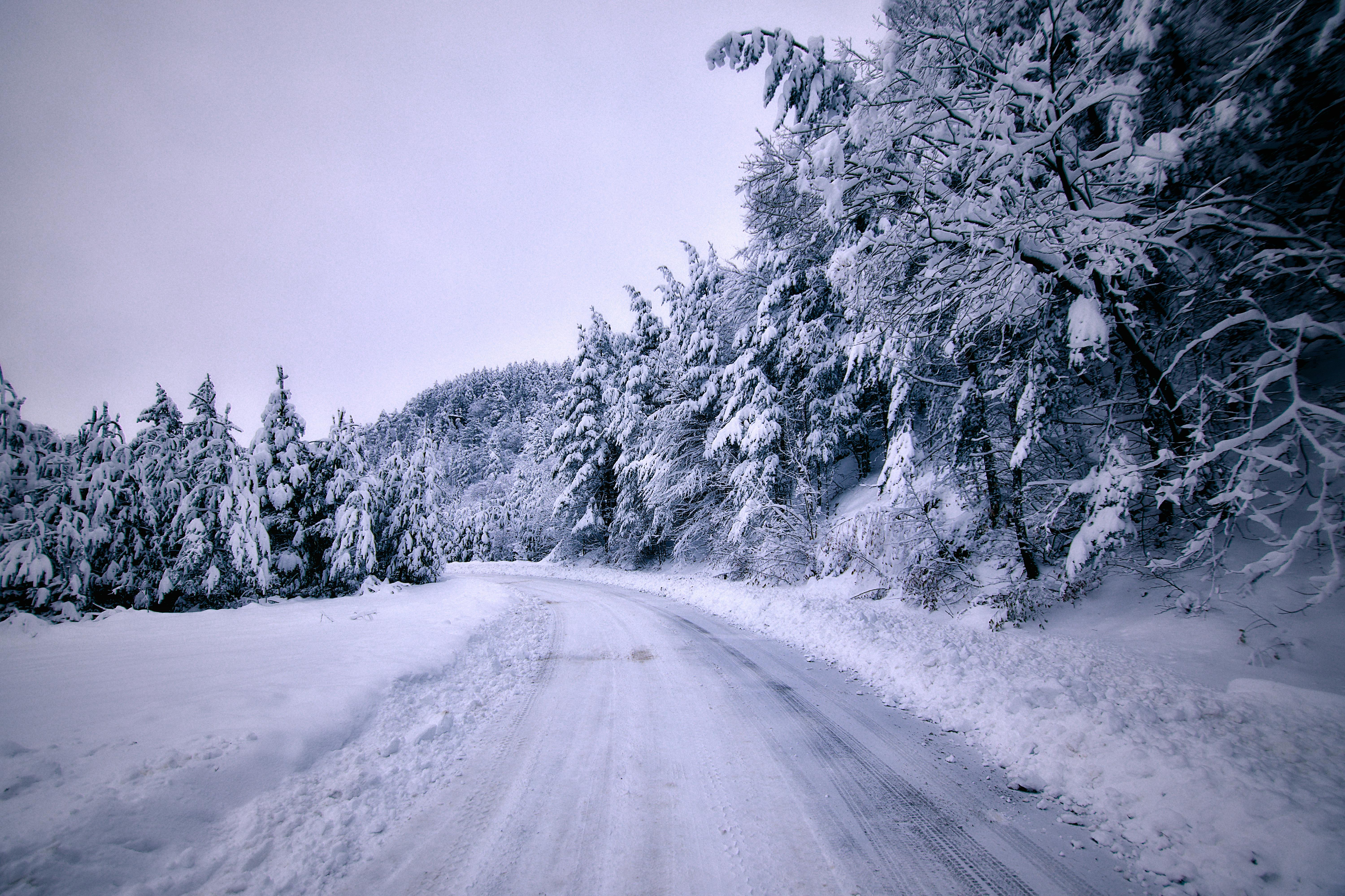
WNC -- January 13, 2026: Winter is finally making a serious appearance in Western North Carolina. After a relatively quiet start to the season, a powerful arctic front is set to collide with a clipper system, bringing the coldest air of the year so far and the potential for accumulating snow across the region.
Here is what you need to know for your specific area as we head into Wednesday and Thursday.
Timing the Transition
The shift from rain to snow will be quick, driven by a sharp drop in temperatures on Wednesday evening.
Wednesday Morning: Mostly cloudy with scattered rain showers. Temperatures will remain mild, with highs in the mid-40s to low 50s.
Wednesday Evening (6 PM – 10 PM): The "flash freeze" window. As arctic air rushes in, rain will rapidly transition to snow.
Wednesday Night: Widespread snow showers across the mountains. Wind gusts could reach 40-45 mph, creating blowing snow and reduced visibility.
Thursday Morning: Snow showers taper off, but the cold becomes the main story. Wake-up temperatures will be in the teens and low 20s.
Snowfall Forecast by Region
This is a high-variability event. While some valley floors may only see a dusting, the higher elevations are looking at a much more significant event.
High Peaks & TN Border (Smokies, Balsams): 3 to 5 inches.
Waynesville & Haywood County Valleys: 1 to 2 inches.
Asheville & French Broad Valley: Coating to 1 inch.
Northern Mountains (Boone/Banner Elk): 2 to 4 inches.
Hendersonville & Foothills: Trace to 1 inch.
Important Safety Reminders
The "real" winter impact comes from the combination of moisture and plummeting temperatures.
Road Conditions: Any water on the roads Wednesday evening will likely turn to "black ice" by the Thursday morning commute.
Dangerous Wind Chills: With high winds, it will feel like -5°F to 5°F across much of the region on Thursday morning.
Home & Pets: Ensure your outdoor pipes are insulated and bring pets indoors before the sun goes down Wednesday.
WNCTimes
Image: WNCTimes