

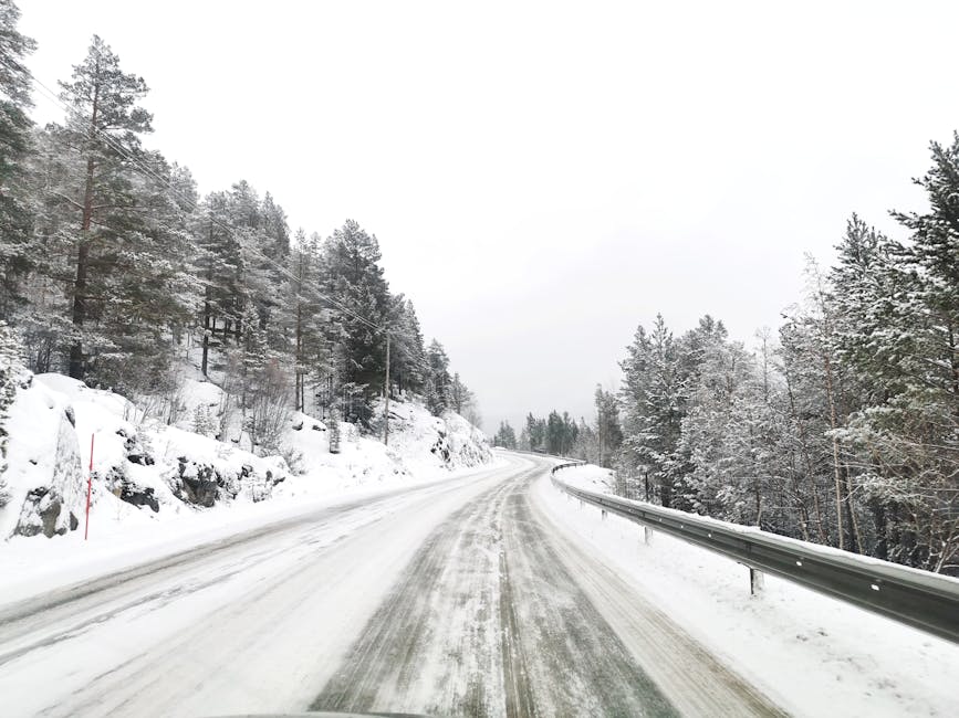
Snow-covered roads are creating hazardous travel conditions across Western North Carolina as a winter storm impacts the region. Commuters and travelers are urged to exercise caution and stay updated on road closures and safety advisories.
Snow Accumulation and Forecast
Heavy snowfall is occurring across Western North Carolina. The highest snow accumulations are expected near the North Carolina–Tennessee state line, where up to a foot of snow is possible. Most of the region is forecast to receive between 4 and 8 inches of snow. Asheville is specifically expecting 4 to 6 inches.
Dangerous Conditions
Temperatures are expected to drop into the teens by Saturday afternoon. The National Weather Service has issued an Extreme Cold Warning for much of the region from 1 p.m. Saturday through 1 p.m. Sunday. Dangerous wind chill readings could result in hypothermia or frostbite. Snow is expected to fall heavily at times Saturday with increasing winds.
Road Closures and Travel Warnings
As of early Saturday morning, primary roads in Buncombe, Henderson, Haywood, Polk, Rutherford, Transylvania, and Mitchell counties are covered in snow. The North Carolina Department of Transportation (NCDOT) has announced that cars left on I-26 during the winter storm will be towed immediately. Travel conditions are expected to worsen significantly as snow accumulates and winds increase. Snow-covered roads may persist into much of the following week.
Safety Recommendations
Residents are urged to limit travel as conditions deteriorate. If travel is necessary, drivers should fill gas tanks to avoid being stranded for hours. It is also recommended to pack emergency kits containing blankets, food, water, and phone chargers.
With hazardous conditions expected to continue, residents are encouraged to monitor weather updates and travel advisories. Travelers should prepare for potential delays and exercise extreme caution if driving is necessary.
The National Weather Service is warning of life-threatening cold arriving Saturday. From 1 p.m. Saturday to 1 p.m. Sunday, expect temperatures in the teens and dangerous wind chills. Take immediate precautions to protect yourself against frostbite and hypothermia, as conditions will be severe across much of the region.
Quick Safety Tips:
Dress in layers: Wear moisture-wicking base layers and windproof outer shells.
Cover exposed skin: Frostbite can occur in minutes during an Extreme Cold Warning.
Check on neighbors: Ensure the elderly and those without reliable heat are prepared.
WNCTimes