

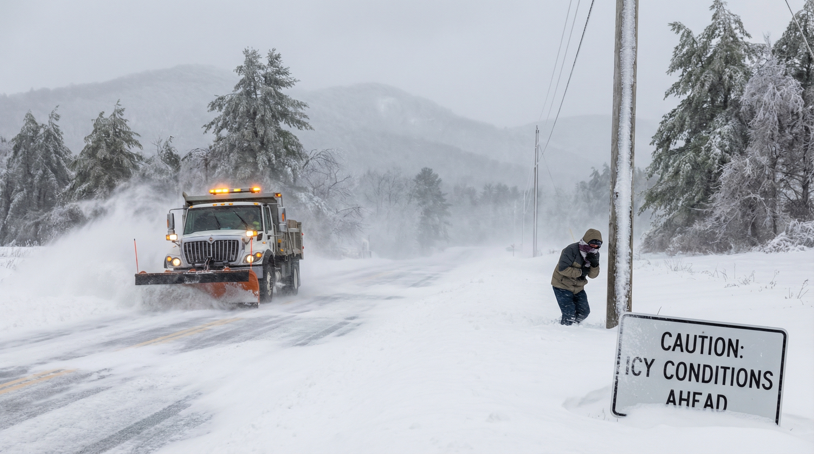
A major winter storm is impacting Western North Carolina, bringing accumulating snow, dangerous wind gusts up to 55 mph, and extreme cold warnings to the region, which is creating significant disruptions to travel, power infrastructure, and daily life. More than eight inches of snow is expected near the North Carolina–Tennessee state line, potentially making many roads impassable. The heaviest snow accumulations occurred Saturday, with snow possibly continuing into Saturday evening in higher elevations and the French Broad River Valley.
Following the snow, wind chills are expected to fall well below zero Saturday into Sunday and could dip below zero again into Monday, creating dangerous conditions for hypothermia and frostbite. The National Weather Service issued an Extreme Cold Warning from 1 p.m. Saturday through 1 p.m. Sunday. Gusty winds pose a significant threat to power infrastructure, with potential damage to power lines and trees that could cause outages.
Gov. Josh Stein declared a state of emergency Thursday, urging North Carolinians to reconsider weekend plans and stay home. The N.C. Department of Transportation has spread 1.4 million gallons of brine across state roads to prevent ice formation, and DOT crews are working 12-hour shifts to clear roads as quickly as possible. State officials warn that the snow's "banding" effect means some areas could receive 12–15 inches while others receive 6–8 inches, creating localized impacts.
Winter Storm Warnings are in effect for all of Western North Carolina, Northeastern Georgia, and the Upstate from 4 p.m. Friday through Sunday morning, with every county in North Carolina and most in South Carolina under warning. The Outer Banks face particular concern, with wind gusts between 55–70 mph expected to cause 2–4 feet of flooding and render N.C. 12 impassable on Hatteras and Ocracoke islands.