

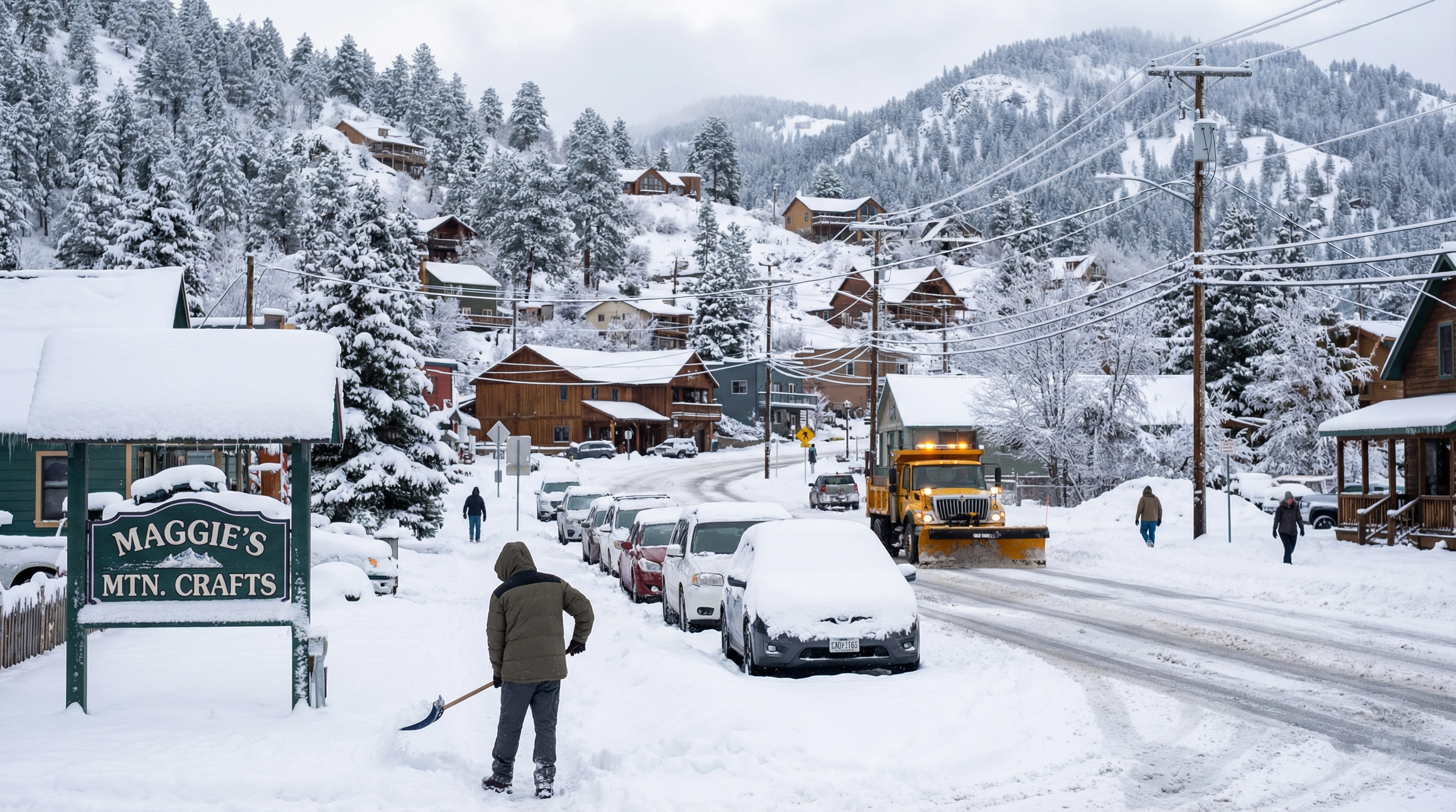
Maggie Valley and Balsam in Western North Carolina saw the highest snowfall totals in the region during this week's winter storm, both reporting 9 inches. The unique conditions in these areas contributed to the significant accumulation.
Storm Details
A winter storm impacted North Carolina from January 30-31, bringing heavy snow, especially to the mountain areas of Western North Carolina. Maggie Valley and Balsam recorded the highest snowfall totals at 9 inches. Nearby Sylva and Clyde also experienced high totals, ranging from 7 to 9 inches in the mountains. The National Weather Service confirmed these as seasonal highs for the region.
Gov. Josh Stein provided an update on February 1, highlighting the snowfall in Western North Carolina. The National Weather Service tracked snowfall totals, including a snowfall map for Northeast Georgia and Western Carolinas. Community observers corroborated the high snowfall amounts in Balsam and Maggie Valley.
“Today is bringing snowfall across our state,” said Governor Josh Stein. “Our transportation, public safety, and emergency management teams are positioned and working to keep people safe, and I’m grateful for their continued efforts. Stay home and off the roads, grab a sled, and enjoy the winter fun.”
“We will continue to see winter storm impacts in many communities across the state today and through tonight, so all North Carolinians need to remain weather aware and stay off the roads, if possible,” said NC Emergency Management Chief of Staff Don Campbell. “In addition to today’s snowfall, we will see dangerously low temperatures which requires you to have a plan in place to stay warm and safe tonight. For resources in your community, please monitor your local emergency management website, social media accounts, and visit ReadyNC.Gov/WinterStorm2026.”
Conditions Leading to High Snowfall
The elevated terrain in Maggie Valley and Balsam favored heavier accumulation during the storm. Northwest winds, gusting to 50-55 mph at higher elevations, caused blowing snow and reduced visibility. Colder air enhanced snow efficiency over rain in lower areas. While specific micro-conditions were not detailed, the mountains consistently saw higher snowfall totals compared to other areas.
Impacts and Aftermath
The snow ended by the evening of February 1, followed by bitter cold. Wind chills dropped to 10-15 below zero overnight into Sunday morning, with conditions worsening at higher elevations. The NCDOT reported snow and ice-covered primary roads and interstates in most Western North Carolina counties, with hazardous conditions on secondary routes.
There was a fatal crash in Rutherford County on January 31 involving a driver and an NCDOT snow grader. The Highway Patrol reported 132 collisions and 167 service calls since midnight on January 31. Authorities urged people to avoid travel.
Conditions improved early in the work week, but extreme cold and ice lingered on backroads.
WNCTimes