

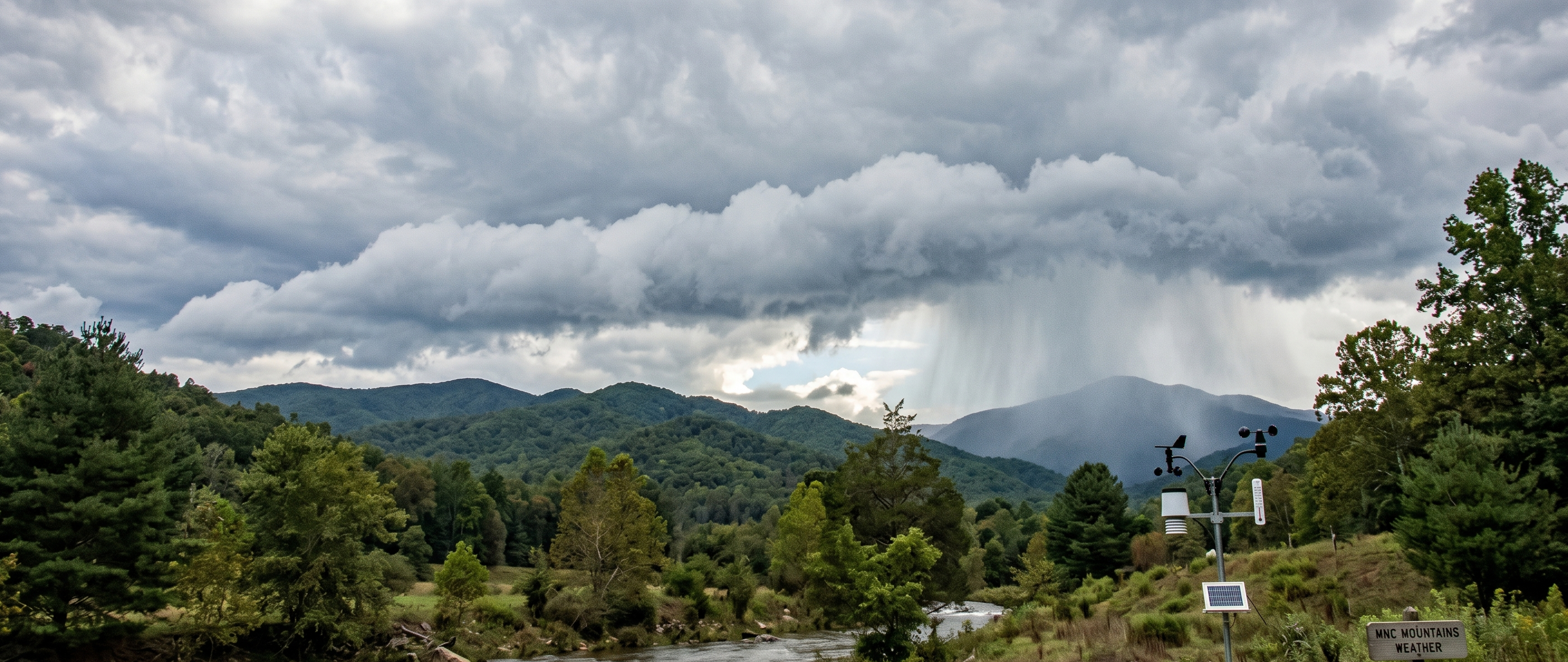
WNC Weather Warning -- September 4, 2026: Western North Carolina residents and visitors planning outdoor activities this weekend should prepare for a potent combination of oppressive heat and sudden severe storms. Regional forecasters have issued weather alerts across the mountains as an encroaching frontal boundary collides with an unseasonably hot, humid air mass.
While mountain communities typically enjoy cooler summer conditions than the Piedmont and lowlands, Saturday’s temperatures will push valley highs into the upper 80s to near 90 degrees. Elevated dew points will drive the heat index into the mid-to-upper 90s, significantly raising the risk of heat exhaustion and heat cramps for anyone engaged in prolonged outdoor labor or recreation.
When Storms Threaten
The primary window of concern centers on the afternoon and early evening hours, roughly between 1:00 PM and 7:00 PM. Strong daytime heating over the ridges will create heavy atmospheric instability. As scattered thunderstorms develop, the primary threats across the region will include:
Frequent, intense cloud-to-ground lightning that can strike miles ahead of the main rain shaft.
Localized, damaging downburst winds strong enough to bring down mountain trees and disrupt power lines.
Torrential downpours capable of causing rapid flash ponding on winding roadways, secondary mountain routes, and low-lying drainage areas.
Because mountain terrain often deflects, accelerates, or traps storm cells, actual impacts and rainfall amounts can vary dramatically within just a few miles.
Staying Safe Outdoors
Emergency management and health officials advise taking common-sense steps during periods of extreme heat and sudden storm risk:
Pace outdoor activities: Shift strenuous yard work, hikes, or athletic training to the early morning hours before peak heat sets in.
Hydrate proactively: Drink plenty of water throughout the day, rather than waiting until thirst sets in, and limit sugary or caffeinated drinks.
Maintain shelter awareness: Keep an eye on the sky and have an indoor shelter or hard-topped vehicle quickly accessible. The standard rule applies: when thunder roars, go indoors.
Check back seats: Never leave children or pets inside a parked vehicle, where cabin temperatures can reach fatal levels in minutes under direct sun.
Credited Regional Forecast Sources
For ongoing micro-climate updates and tracking across the Blue Ridge, information and data for this report were drawn from the following regional outlets:
RaysWeather.Com: Founded by Ray Russell, providing elevation-specific forecasts across the High Country, foothills, and French Broad River valley.
AshevilleWX: Founded and operated by meteorologist Hunter Ward, specializing in independent mountain weather discussions and localized storm development.
National Weather Service (Greenville-Spartanburg Office): The federal agency responsible for issuing official watches, warnings, and localized heat advisories across Western North Carolina.
wnctimes: Dedicated local reporting and community news coverage for the mountains of Western North Carolina.